
Open this photo in gallery:
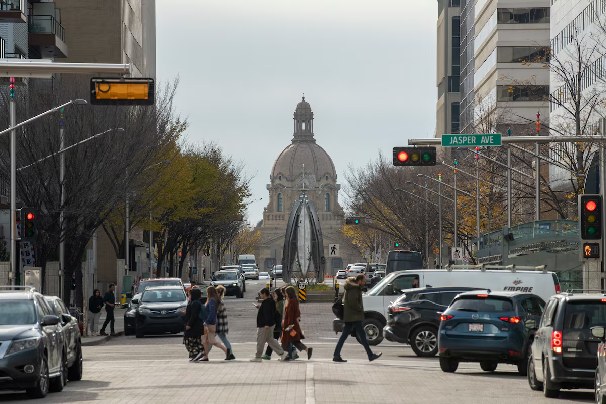
Residents walk through downtown Edmonton near the Alberta Legislature Building last month. The electoral map is redrawn every eight to 10 years.Cory Wright/The Globe and Mail
Premier Danielle Smith’s government has taken the first steps to approve Alberta’s new electoral map, unanimously voting to move forward with the redrawn boundaries emerging from a process that has faced charges of gerrymandering.
Ms. Smith’s governing United Conservative Party voted on Wednesday night to approve a motion that will result in the government creating a bill to put the map into law. The Alberta NDP voted against the motion.
The new map has added four new seats and will likely benefit Ms. Smith’s UCP – particularly owing to a slate of changes in Calgary’s northwest and in Lethbridge.
It has also ignited fierce debate over a process that’s traditionally a sleepy affair. Ms. Smith forced a redraw of the map in April, a decision she said was motivated by a desire to preserve rural voters’ electoral representation in light of massive population gains in Alberta’s two major cities, Calgary and Edmonton. But her decision has triggered questions about the process itself, with critics voicing concerns that the latest redrawing effort has not followed Alberta’s traditionally independent and transparent procedures.
Smith defends Alberta electoral map against gerrymandering allegations
Analysis by The Globe and Mail shows that under the most recent election results, the latest map would not tilt the political playing field as severely as some expected in April when Ms. Smith rejected the previously proposed map and restarted the process.
Specific changes to the map, however, would provide an advantage to the UCP while significantly diluting the power of voters in urban centres, where support for the Alberta NDP is most concentrated. Calgary, where some of those changes are centred, is expected to be the battleground where next October’s provincial election is won.
Earlier this week, Ms. Smith said she didn’t want urban representation to come at the expense of the rest of the province: “We did not want rural Alberta to be under-represented.”
The Alberta NDP has promised the map will end up in court. Ms. Smith has batted away accusations of gerrymandering and endorsed the changes. Alberta’s elections agency has warned it doesn’t have enough time to implement the new map, even without the prospect of a legal challenge.
Brian O’Ferrall, a retired judge and chair of the most recent five-person panel, wrote in the report of “unnecessary and counter-productive controversy” that dogged the five-person group as it attempted to redraw the map. He dismissed accusations of gerrymandering at several turns.
Meanwhile, the two panelists selected by the NDP – University of Alberta constitutional law professor Gerard Kennedy and former Okotoks, Alta., town councillor Brent Robinson – wrote a separate report suggesting that aspects of the new map would be “constitutionally fraught.”
“This 2025-26 Alberta redistricting process has pushed the envelope of democratic norms,” they wrote, adding that adopting the new map “will likely force the courts to enter this fray.”
It is unclear what effect the new map would have on the outcome of next October’s provincial election, as political tides continue to shift in Alberta. But applying the 2023 provincial election results to the new map, the UCP would hold on to its majority with a similar 11-seat margin over the NDP.
Some of the deepest divisions on the latest panel were over changes to Lethbridge and Calgary, where three panelists proposed to blend the cities’ suburban neighbourhoods with rural communities.
Boundaries commissioners typically aim to achieve similar populations across all ridings. But it can be impossible in certain cases to avoid creating ridings with small populations due to sparsely populated rural regions, resulting in electoral divisions with below-average populations.
Population disparities between city and rural ridings increase under the new proposed map. If approved, the average rural riding would be nearly 11-per-cent smaller than the provincewide average of 53,722 people. Calgary and Edmonton’s populations, meanwhile, would be roughly 6-per-cent greater than average.
These differences were key concerns for Prof. Kennedy and Mr. Robinson, the minority authors, who wrote that new ridings in northwest Calgary “subtly dilute Calgarians’ votes in ways that are not necessary to achieve effective representation.”
They added that the proposed recommendations “exacerbate the underrepresentation of the four largest cities in Alberta.” Those are Calgary, Edmonton, Red Deer and Lethbridge.
Opinion: Alberta’s electoral map shows who conservatives think ‘real’ Albertans are
Mr. O’Ferrall, meanwhile, defended the proposals while accusing Prof. Kennedy and Mr. Robinson of unfairly criticizing the proposed hybrid ridings. The former judge wrote that changes in Lethbridge were reasonable because of “an identifiable, shared southern Alberta community of interest driven by dependency on agriculture and food processing industries.”
At several points, Mr. O’Ferrall wrote that residents in the new hybrid Calgary ridings shared similar interests.
“One’s vote is only diluted if a large number of people with whom one doesn’t share the same interests is added to his or her electoral division,” he wrote.
It is not boundaries commissioners’ job to assess the electoral implications of their work. But should the map slide past the legislature and a legal challenge, it will have electoral implications in key parts of the province.