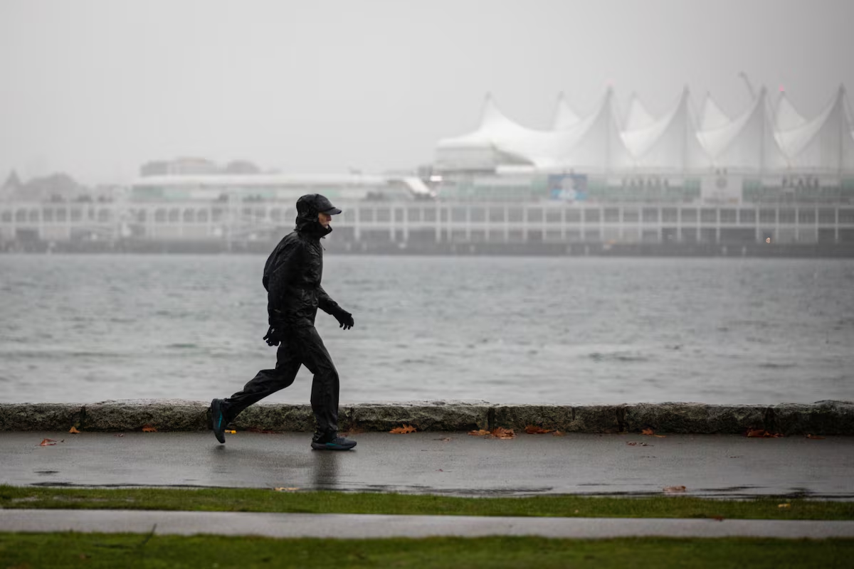

Open this photo in gallery:
Heavy rain lashes the seawall in Vancouver’s Stanley Park on Friday.Justine Beaulieu-Poudrier/The Globe and Mail
Wild weather that is slamming into the south coast of British Columbia has forced the suspension of search-and-rescue efforts for a missing canoeist off Vancouver Island, as forecasters warn of floods and landslides triggered by drenching rains.
A series of atmospheric rivers has been hitting southwest B.C. since last week, with the latest storms forecast to bring up to 250 millimetres of rain in some places.
The storms had already turned deadly, with the deaths of a driver in Surrey, B.C., whose car was crushed by a falling tree on Saturday, and a Vancouver pedestrian who was hit by a car during what police called a heavy rainstorm last Friday.
RCMP in Sayward, B.C., said worsening weather had made it unsafe for water and shoreline searches for 35-year old Dakota Smith, who was reported missing last Friday after going fishing.
Smith’s capsized canoe had been found in waters off the northeast coast of Vancouver Island, but police said the chances of his survival had been “drastically reduced” by “high unpredictable winds, heavy rainfalls and the frigid water temperature.”
B.C. battered by storms as unusually warm weather grips other parts of Canada
The Ma’amtagila Nation community indicated members were continuing to look for Smith despite the end of the official search.
Environment Canada recorded high winds the day Smith went missing, and the province was being struck by storm systems that are continuing.
Environment Canada meteorologist Michael Gismondi said in an interview Tuesday that the drenching from the atmospheric river storms is “fairly typical for this time of year.”
“Typically we get a few every year, so it’s not unusual for this to happen.”
Gismondi said he does not expect “catastrophic” impacts, but flooding was possible as the rain continued across the region for a day or more.
“It kind of taps into some warm tropical air from the lower latitudes and it brings it right up to the B.C. coast,” he said of the atmospheric river. “So we’ll expect heavy rain, mild conditions, high freezing levels and then there’s another system coming in that will sort of re-intensify that front as we go into Wednesday.”
Environment Canada has raised orange rainfall warnings in west and central Vancouver Island, Howe Sound and the Sea-to-Sky regions, meaning the “severe” storms were likely to cause significant damage and disruption.
The agency said parts of Vancouver Island could see more than 250 millimetres of rain, while Howe Sound and the Sea to Sky regions could see upwards of 160 millimetres.
Open this photo in gallery:
An adult and a young child walk under umbrella in the Vancouver’s West End on Tuesday.Justine Beaulieu-Poudrier/The Globe and Mail
Parts of Metro Vancouver could receive 160 millimetres, while Haida Gwaii and north Vancouver Island could get wind gusts of up to 110 kilometres an hour.
Grouse Mountain Regional Park in North Vancouver closed early on Tuesday due to inclement weather, and the mountain’s website says both the Grouse Grind and BCMC trail will be closed on Wednesday due to heavy rains.
The mountain’s website said park staff will assess conditions over the coming days to determine when it can safely reopen.
The forecaster also issued orange warnings for potentially “damaging winds” in central B.C., on Tuesday. It said the southeasterly wind would increase into Wednesday, with gusts up to 100 kilometres an hour expected in some regions before easing Wednesday evening.
British Columbia’s River Forecast Centre issued ongoing flood watches on Monday for much of Vancouver Island and the South Coast, with the worst weather expected to last into Wednesday before tapering off Thursday.
The agency issued high streamflow advisories for southern Vancouver Island, the Fraser Valley and Fraser Canyon on Tuesday.
BC Hydro said in a news release Tuesday that its crews were working to restore power to customers “following a series of damaging storms that affected approximately 415,000 customers across the province since Friday.”
It noted some of the most extensive storm damage happened in the northern and central Interior, adding that about 2,300 properties remained without power as of Tuesday.
Gismondi said the precipitation along B.C.’s coastal regions is expected to slow early Wednesday before the next system is forecast to pass through the region. That, he said, is expected to continue until Friday, when another short break is expected.
“It kind of looks like another system coming for the weekend – so probably back into some rain for the weekend,” he said.
B.C.’s Transportation Ministry issued a news release late Tuesday, advising drivers travelling along the south coast to monitor conditions and prepare for heavy rain, wind and possible flooding through the rest of the week.
“Ministry contractors are actively preparing by clearing debris from roadways and drainage infrastructure,” the statement said. “They will continue monitoring corridors throughout the storm and be ready to respond immediately to issues.”
Gismondi suggested people take steps to try to mitigate flooding, including making sure their storm drains are clear and to ensure loose objects are put away as heavy winds are also expected in the region.
“If you’re driving, watch for water pooling on the roads, try not to drive through any deep water,” he warned.
“Be aware of possible hydroplaning, keep your headlights on, keep a safe distance and slow down. Just try and be careful out there, and stay safe.”