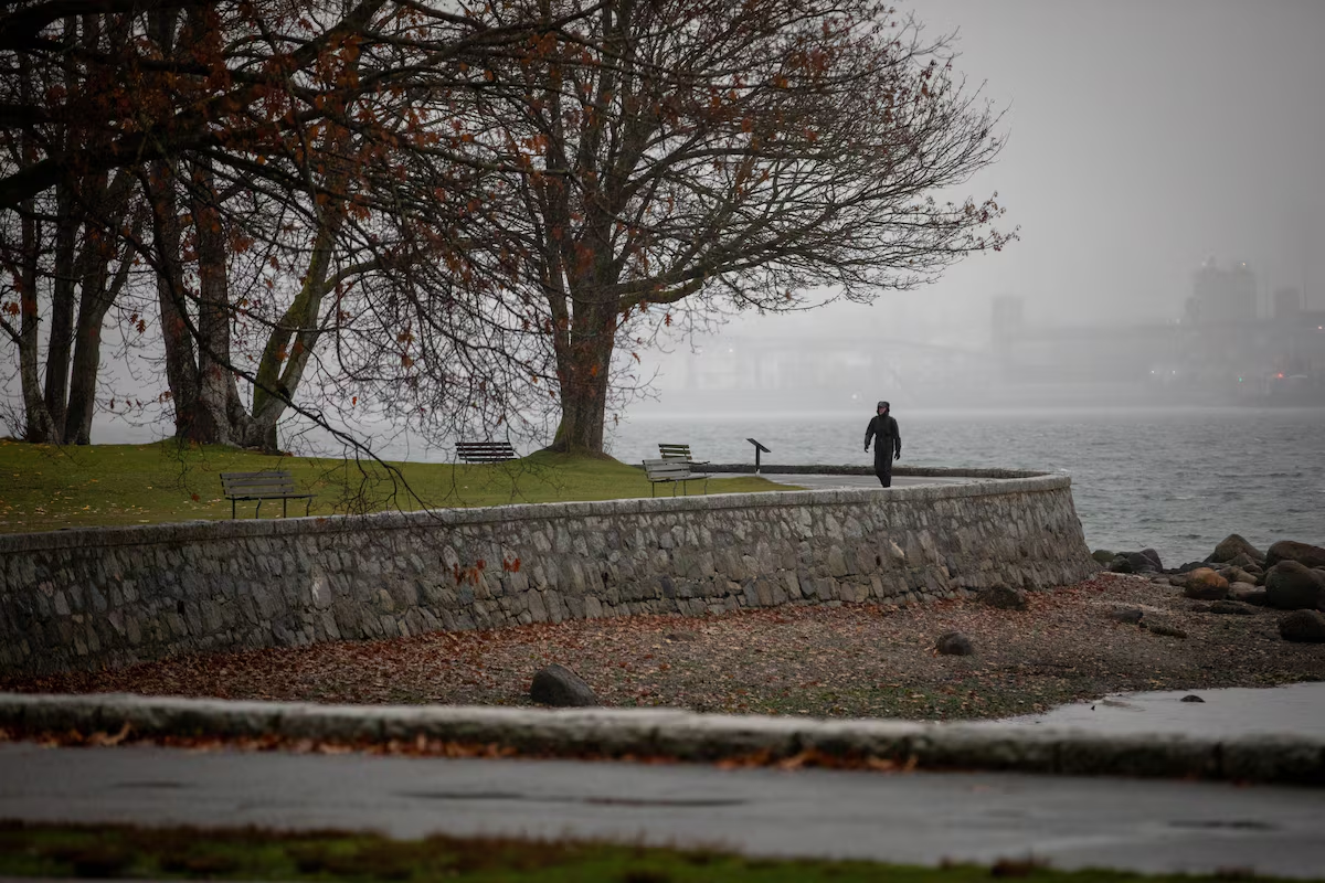

Open this photo in gallery:
A person walks along the seawall in Vancouver’s Stanley Park on Nov. 6. A series of powerful storms has battered B.C., bringing damaging winds, flooding and widespread power outages.Justine Beaulieu-Poudrier/The Globe and Mail
Christina Lepore was awoken in the middle of the night by the sound of crashing trees and howling winds. The second of three major storms had blown in off the Pacific Ocean, crashing ashore over her small town of Zeballos, on Vancouver Island’s remote northwestern coast.
“Around 3 o’clock in the morning, we heard quite loud noises. And when I went to look outside, we were surrounded by water,” Ms. Lepore said.
The winds were strong enough to have blown the window out of her pick-up truck’s rear canopy, and that of her neighbour’s as well, she said. Trees came down, knocking out power and blocking a creek, she said, leading to a flood.
“There’s still pieces of siding and roofs scattered about,” said Ms. Lepore, who runs the small town’s convenience store. “There’s a lot of debris on the road, rocks from the rockslide and branches.”
North Vancouver woman rescued after being swept into creek during B.C. storm
The Village of Zeballos ordered the evacuation of 22 properties Friday owing to landslide risks that it said posed a threat to life and safety. Parts of that order were downgraded to an evacuation alert Monday, but a statement from the regional district said residents should expect some restrictions to remain in place for the remainder of the week.
Elsewhere the wild weather wreaked havoc across southwestern British Columbia. The storm was linked to two deaths in Metro Vancouver. On Friday, the driver of a sedan struck a 78-year-old woman who was attempting to cross the street during heavy rain, according to Vancouver Police.
On Saturday, a driver was killed when a falling tree struck two vehicles in Surrey, B.C. A canoeist has been missing in stormy waters off northern Vancouver Island since Friday.
According to BC Hydro, nearly 415,000 customers experienced power outages since Friday. Outages in hard-hit rural areas around Prince George are expected to last several days, with the earliest restoration expected by late Tuesday, the utility said. Access has made some repairs more difficult.
By late Monday afternoon, about 13,300 customers remained without power.
And there is more on the way. On Monday afternoon, forecasters escalated rainfall warnings in southwest British Columbia, saying some areas could receive a deluge topping 250 millimetres in a new parade of storms that is set to drench the region.
Orange warnings have been raised for west and central Vancouver Island, Howe Sound and the Sea to Sky region, with Environment Canada warning of flooding and landslides after the “very robust” frontal system makes landfall Tuesday morning.
Open this photo in gallery:
Forecasters are warning of another round of heavy rainfall across southwestern B.C., with some areas expected to receive more than 250 millimetres.Justine Beaulieu-Poudrier/The Globe and Mail
The province’s River Forecast Centre has also issued a flood watch for much of southwest B.C.
“The heaviest rain is forecast for Tuesday and Wednesday, with lingering rainfall continuing through the rest of the week,” the centre said on Monday.
Residents are being asked to stay away from riverbanks of fast-moving water and to never cross flooded roads or bridges.
Communities have begun preparing for the coming storms, with the City of Vancouver opening additional shelter spaces on Monday and Tuesday.
“This rainfall event comes on the heels of several low-pressure systems that have moved through the region in recent days, already bringing substantial amounts of precipitation to parts of the coast,” Environment Canada said.
Meanwhile other parts of Canada have seen unseasonable weather of a different sort.
Rhythm Reet, a meteorologist at the Weather Network, said Canada is experiencing what’s called an “omega block,” a weather pattern characterized by a high-pressure ridge sandwiched between two low-pressure troughs, to resemble the Greek letter.
Over the next 10 days, the Pacific storms will bring warm winds across the Rocky Mountains and push temperatures in Alberta and Saskatchewan up between seven and 10 degrees above seasonal, Ms. Reet said.
But the most significant temperature anomalies are expected in Yukon and the Northwest Territories, extending into a portion of Nunavut, where a ridge of high pressure will drive temperatures up 10 to 15 degrees above the seasonal average.
“To put numbers to that: Yellowknife, this Thursday, Nov. 12, the average daytime high is around -7 C, and the low around -15 C,” Ms. Reet said. “Our forecast is indicating that it’s going to be 3 C as a high for Yellowknife, and the low is going to be -1 C.”
Opinion: El Niño is coming for our skating rinks (and that’s not all)
Ms. Reet said she couldn’t comment on the possible connection between recent weather and climate change but she did say that it has been somewhat influenced by the growing El Nino pattern, which is gathering strength in the Pacific Ocean.
“The general pattern we end up seeing in the winter as well is the fact that the jet stream is further toward the north, allowing for this ridging pattern to hold steady toward Western Canada,” she said.
A study published in August suggests that El Nino patterns are getting stronger because of climate change.
El Ninos are more than 36 per cent stronger than they were before the industrial age began in the mid-1800s, with a 16-per-cent jump in just the last 40 years showing that the increase is accelerating, according to a study in Thursday’s journal Science.